Satellite sea surface temperature and chlorophyll for every mile of the U.S. coast, the Great Lakes, Hawaii, Baja, mainland Mexico and the Caribbean. 53 regions, one membership.
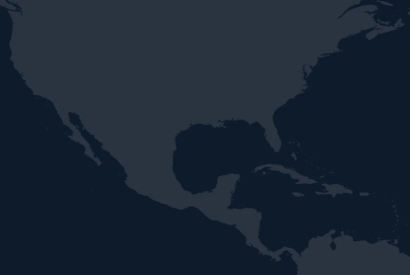 North America · Mexico · Caribbean · Central America
Washington
Oregon
Northern California
Bay Area / Monterey
Central California
Southern California
Gulf of Maine
Cape Cod / Georges Bank
NE Canyons North
Mid Atlantic / NE Canyons South
North Carolina
South Carolina / Georgia
Jacksonville / St Augustine
Cape Canaveral / Ft Pierce
Stuart / Jupiter
Miami / Ft Lauderdale / Bimini
Florida Keys
Cape Coral / Fort Myers
Tampa / Sarasota / Middle Grounds
Big Bend / FL Gulf Coast
Florida Panhandle / Alabama
Louisiana / Central Gulf
Texas / West Gulf
Lake Superior
Lake Michigan
Lake Huron
Lake Erie / Lake St Clair
Lake Ontario
Bahamas / Abaco
Southern Bahamas / Turks & Caicos
Puerto Rico / Virgin Islands
Leeward Islands
Windward Islands
Jamaica
Guatemala / El Salvador
Nicaragua
Costa Rica
Panama / Coiba
Baja Pacific North / Ensenada
Baja Pacific Central / Cedros
Baja Pacific South / Mag Bay
Los Cabos / East Cape
Bahía de los Ángeles
Santa Rosalía / Mulegé
Loreto
La Paz / La Ventana / Cerralvo
Puerto Vallarta / Banderas
Mazatlán
Manzanillo
Acapulco
Puerto Escondido / Salina Cruz
Each box is the water one chart covers. Live satellite SST and chlorophyll inside every one. Hover to name it, click to open the chart.
Not for navigation. Data courtesy NOAA CoastWatch, NASA PO.DAAC and NOAA NDBC.