
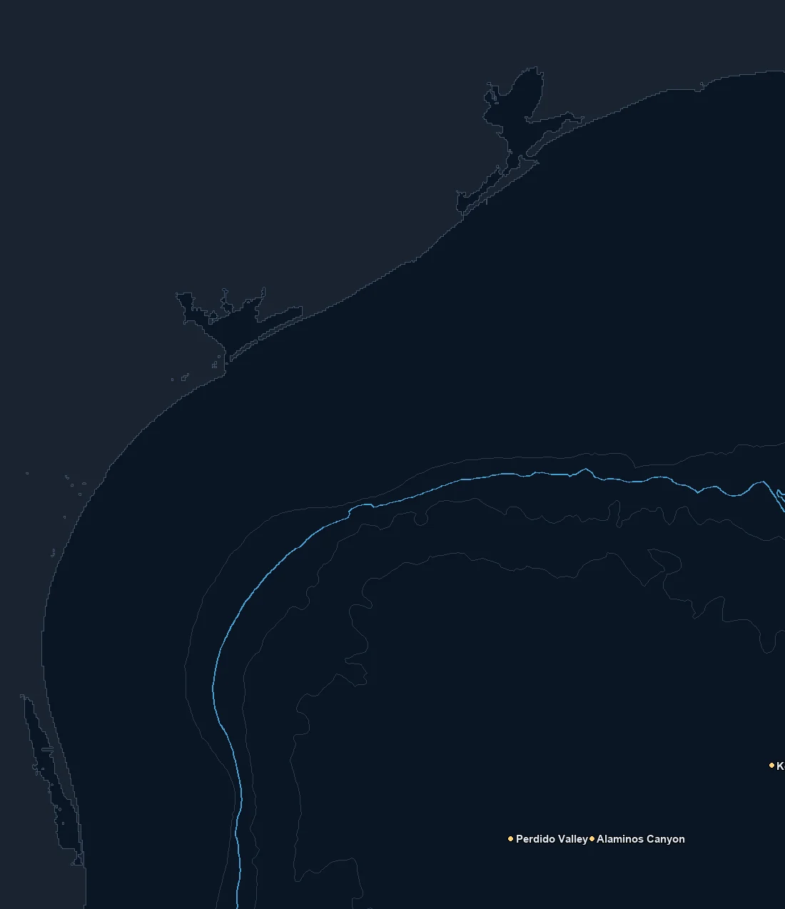
Named spots
| Spot | Type | Depth | From nearest port |
|---|---|---|---|
| Alaminos Canyon | canyon | 1597 fm | – |
| Keathley Canyon | canyon | 1050 fm | – |
| Perdido Valley | canyon | 1481 fm | – |
Nearby buoys
2026-10-19 15:30 UTC · NOAA NDBC 42002
2026-10-19 15:30 UTC · NOAA NDBC 42035
2026-10-19 11:00 UTC · NOAA NDBC 42043
2026-10-19 15:30 UTC · NOAA NDBC 42092
Latest NOAA NDBC observations. Satellite and in water readings may differ.
Fishing Texas / West Gulf
The Texas coast fronts the western Gulf, and the run to the blue water is a long one off most of the state. The shelf is wide off the upper and middle coast, so deep water sits well offshore, and it only comes within easier reach as you work south toward the lower coast and the deeper water off the shelf edge. That distance makes planning essential, because a blue water trip out of Freeport, Port Aransas or South Padre is a serious commitment of fuel and time, and the chart is how you decide whether the water is worth the run.
The read here combines the offshore blue water picture with the Gulf's own features. Warm water, color changes and temperature breaks set up over the shelf edge and the deeper water, and eddies shed from the Loop Current can swing west and push warm blue water toward the Texas grounds. When clean, warm water and a temperature break line up out near the shelf edge and the deep structure, the offshore fishing comes alive. The SST and chlorophyll layers together tell you whether that water has pushed into range.
Structure anchors the fishing. The famous offshore banks, the oil and gas platforms and the shelf edge features concentrate bait and hold fish out in the deep water, and the artificial reefs and wrecks do the same closer in. A color or temperature edge sitting over one of those features is far more productive than the same water over open bottom, so pairing the water layers with the depth contours is how you build a plan worth the long run.
Seasonally, crews typically target yellowfin and blackfin tuna, dolphin, wahoo and billfish out along the shelf edge, the banks and the deep rigs in the warmer months when the blue water is in. Kingfish and cobia work the nearshore and the structure, and red snapper and other bottom fish over the reefs and banks run on their managed seasons. None of it is a promise. Seasons, runs and regulations change every year, so always check current rules.
Before committing to a long offshore run, read where the warm blue water and the cleanest edge are sitting relative to the banks, the rigs and the shelf edge, and point the bow at the structure that already has good water on it.
What you get with ReelTemps
- Sea surface temperatureFind the temperature break
- Chlorophyll-aSpot the green-to-blue color seam
- Composite & single passBlended picture or the freshest overpass
- CompareTemperature and color side by side
- Depth readoutFathoms and feet on hover, tap or mark
- Currents & buoysSee the water move and ground-truth it
- Route, ruler & waypointsPlan the run and save your spots
From the water
I've tried every temp map out there and they all feel like they were built ten years ago. I'm not exactly a tech guy, but this one actually makes sense the second you open it. First time using it, I marked a break in about 30 seconds the night before and boated bluefin right on it the next morning.
Used to burn half a tank driving around looking for color change or a solid temp break. Now I check ReelTemps before I leave the dock and I know exactly where I'm going. Less time driving around guessing, more time with lines in the water.
Albacore season used to mean a couple hours of homework the night before and just hoping it held up. Now I do most of my research that morning and pull it up on my phone if things change once we're out there. Makes calling an audible a lot easier.