
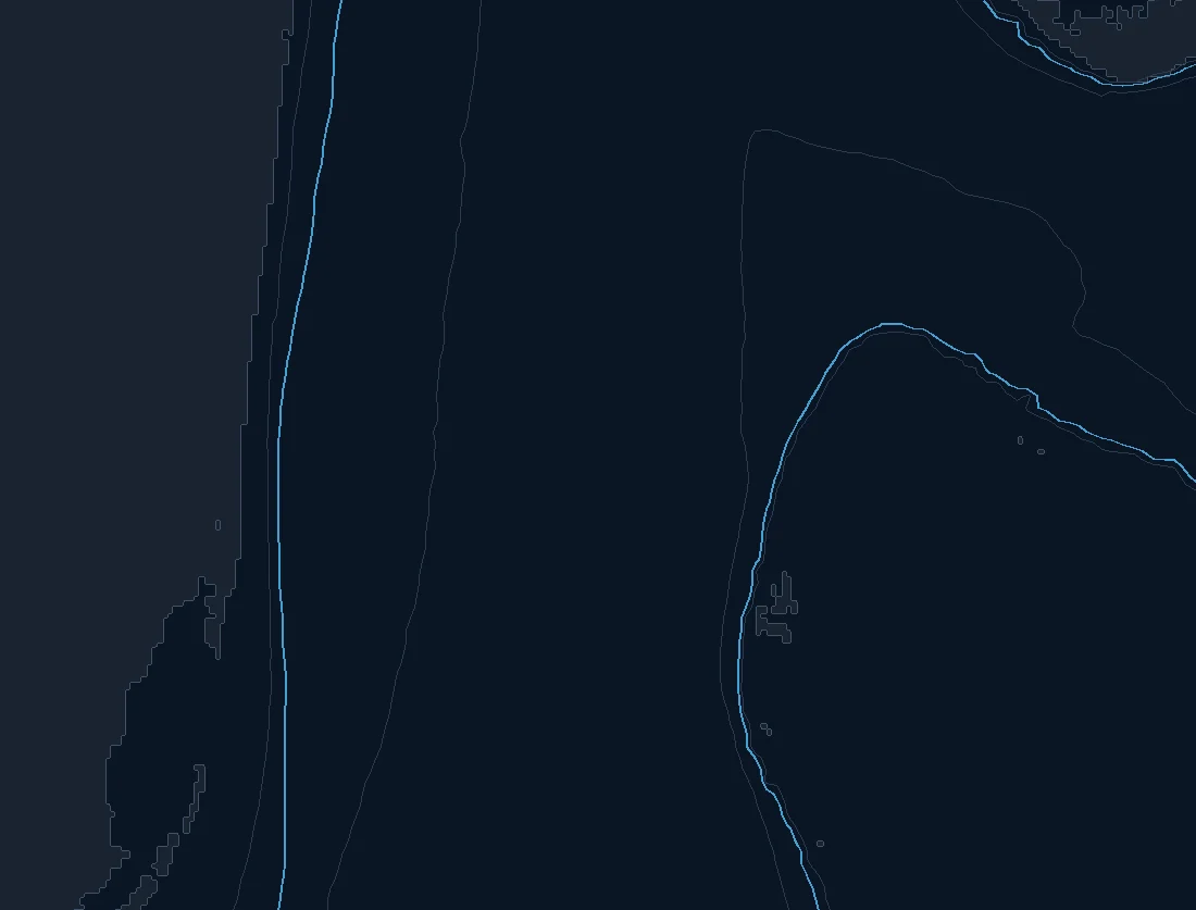
Named spots
| Spot | Type | Depth | From nearest port |
|---|---|---|---|
| Florida Valley | canyon | – | – |
Nearby buoys
2026-10-19 14:00 UTC · NOAA NDBC 41122
Latest NOAA NDBC observations. Satellite and in water readings may differ.
Fishing Miami / Ft Lauderdale / Bimini
From Miami and Ft Lauderdale across to Bimini you are fishing the heart of the Gulf Stream, and the water here is defined by that great river of warm blue current running north between Florida and the Bahamas. The Stream is close to the beach on the Florida side, the bottom drops away fast, and the deep blue water is a short run from the inlets. For crews making the crossing to Bimini, the chart becomes a crossing tool as much as a fishing tool, because knowing where the Stream, its edges and its eddies are sitting shapes both the run and the fishing.
The read here is all about the Stream and its structure in the water. The western wall of the Gulf Stream, the color changes where blue meets greener water, the temperature breaks and the weed lines that ride with the current are what the pelagics patrol. Eddies and filaments spin off the main flow and set up edges in different places day to day. On the crossing, the current pushes you north, so reading the Stream's position and strength helps you plan a heading that accounts for the set rather than fighting it blind.
Structure matters on both sides. On the Florida side the reef line, the ledges and the humps hold bait, and the deep drops off Miami are classic. Around Bimini the edge of the bank and the drop into the Stream do the same work. An edge or color change sitting over that structure is where you want to be, and pairing the SST and chlorophyll layers with the depth contours is how you find it.
Seasonally, this is close to a year round offshore fishery. Dolphin, known as mahi, run the weed lines and blue water in the warmer months. Wahoo and tuna move through on the Stream, sailfish show through the cooler months and the winter fronts, and kingfish and bottom fish work their own seasons. None of this is a promise. Seasons, runs and regulations change every year, and crossing to Bimini means Bahamian rules and clearing in, so always check current regulations on both sides before you go.
Read where the Stream edge and the color change are sitting, weigh the current and the forecast, and plan both your crossing and your fishing around the water that is already working.
What you get with ReelTemps
- Sea surface temperatureFind the temperature break
- Chlorophyll-aSpot the green-to-blue color seam
- Composite & single passBlended picture or the freshest overpass
- CompareTemperature and color side by side
- Depth readoutFathoms and feet on hover, tap or mark
- Currents & buoysSee the water move and ground-truth it
- Route, ruler & waypointsPlan the run and save your spots
From the water
I've tried every temp map out there and they all feel like they were built ten years ago. I'm not exactly a tech guy, but this one actually makes sense the second you open it. First time using it, I marked a break in about 30 seconds the night before and boated bluefin right on it the next morning.
Used to burn half a tank driving around looking for color change or a solid temp break. Now I check ReelTemps before I leave the dock and I know exactly where I'm going. Less time driving around guessing, more time with lines in the water.
Albacore season used to mean a couple hours of homework the night before and just hoping it held up. Now I do most of my research that morning and pull it up on my phone if things change once we're out there. Makes calling an audible a lot easier.