
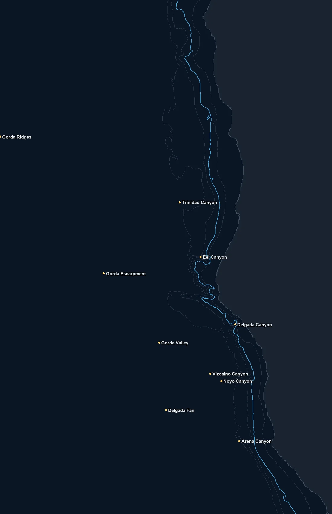
Named spots
| Spot | Type | Depth | From nearest port |
|---|---|---|---|
| Arena Canyon | canyon | 693 fm | – |
| Delgada Canyon | canyon | 271 fm | – |
| Delgada Fan | canyon | 1715 fm | – |
| Eel Canyon | canyon | 488 fm | – |
| Gorda Escarpment | feature | 1623 fm | – |
| Gorda Ridges | bank | 1218 fm | – |
| Gorda Valley | canyon | 1321 fm | – |
| Mendocino Fracture Zone | feature | – | – |
| Noyo Canyon | canyon | 1069 fm | – |
| Trinidad Canyon | canyon | 681 fm | – |
| Vizcaino Canyon | canyon | 882 fm | – |
Nearby buoys
2026-10-19 12:10 UTC · NOAA NDBC 46014
2026-10-19 12:10 UTC · NOAA NDBC 46015
2026-10-19 12:10 UTC · NOAA NDBC 46022
2026-10-19 11:50 UTC · NOAA NDBC 46026
2026-10-08 22:00 UTC · NOAA NDBC 46128
2026-10-19 12:00 UTC · NOAA NDBC 46213
Latest NOAA NDBC observations. Satellite and in water readings may differ.
Fishing Northern California
Northern California is big, cold, structure rich water, and it fishes like it. This stretch runs from Point Arena up past Cape Mendocino and the Gorda area, where the shelf narrows, the bottom falls away fast, and a string of real canyons like Eel, Delgada, Trinidad and Arena cut into the slope. Cold, nutrient rich upwelling is the engine here. Persistent northwest wind pulls cold water up along the coast, it goes green with life, and it meets the cleaner offshore water along a temperature and color break that can stack bait and the fish that hunt it.
Because the shelf is narrow in places, the good edges can sit closer to shore than you would expect, right where the 100 and 200 meter contours bend around a canyon head. In other spots the productive water pushes well offshore on a strong upwelling push. That variability is the whole point of watching the chart. Reading where the break is sitting relative to the canyon and shelf edge, and which way it is drifting, saves a lot of blind running in water that is often lumpy and far from the ramp.
Seasonally, the albacore run offshore in the warm blue water is the headline when it pushes within range in summer and fall. Salmon, rockfish, lingcod and Dungeness crab anchor the nearshore and shelf through their seasons. Conditions up here can be rough and the weather window matters as much as the water, so plan the run with the distance and the forecast in mind, not just the temperature. Nothing about the fishing is guaranteed, but cold green over structure meeting warm blue offshore is the pattern that pays.
Use the depth contours and named canyons to anchor your plan, then lay the temperature and color layers over them and run to the edge that lines up with structure.
What you get with ReelTemps
- Sea surface temperatureFind the temperature break
- Chlorophyll-aSpot the green-to-blue color seam
- Composite & single passBlended picture or the freshest overpass
- CompareTemperature and color side by side
- Depth readoutFathoms and feet on hover, tap or mark
- Currents & buoysSee the water move and ground-truth it
- Route, ruler & waypointsPlan the run and save your spots
From the water
I've tried every temp map out there and they all feel like they were built ten years ago. I'm not exactly a tech guy, but this one actually makes sense the second you open it. First time using it, I marked a break in about 30 seconds the night before and boated bluefin right on it the next morning.
Used to burn half a tank driving around looking for color change or a solid temp break. Now I check ReelTemps before I leave the dock and I know exactly where I'm going. Less time driving around guessing, more time with lines in the water.
Albacore season used to mean a couple hours of homework the night before and just hoping it held up. Now I do most of my research that morning and pull it up on my phone if things change once we're out there. Makes calling an audible a lot easier.